Our Technologies

We deploy predictive AI models to unlock trends, forecast risks, and generate actionable insights from complex satellite, geospatial and field data.

Custom interactive dashboards provide real‑time visibility into data pipelines—bringing satellite imagery, modelling outputs and field indicators into one strategic interface.

We leverage state-of-the-art modelling techniques and machine learning algorithms to produce strategic insights and build powerful predictive models.
We combine our data science skill set with an expertise in GIS and field experience to build high-resolution indicators.

We validate satellite and model outputs on the ground—gathering field data and local context to ensure the accuracy and trustworthiness of our insights.

We design and integrate end-to-end hardware stacks—from sensors to edge devices—to capture real-world data at scale and with precision.

Through strategic partnerships and local networks, we combine technical capability with regional expertise to amplify impact and operational reach.

We build scalable, secure platforms that unify satellite processing, analytics, GIS tools and user-facing apps—accelerating insight-driven decision workflows.

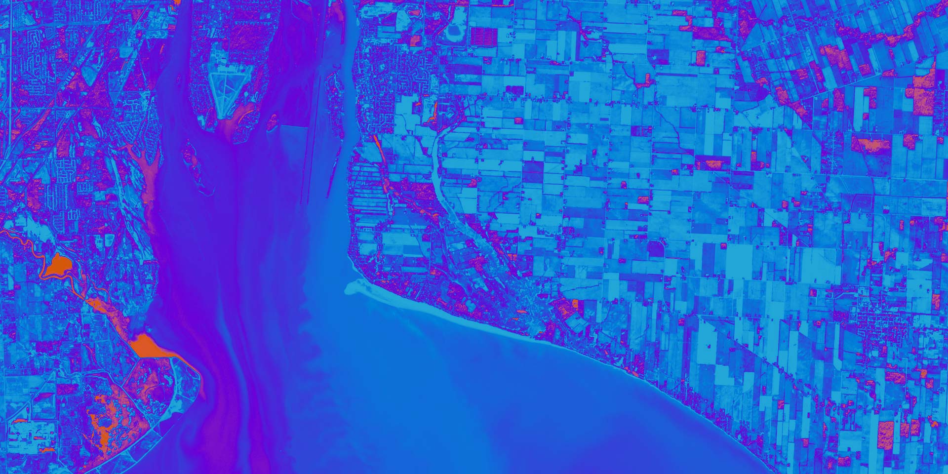
We collect, process and analyse satellite imagery generating powerful insights for our clients in a wide range of fields.
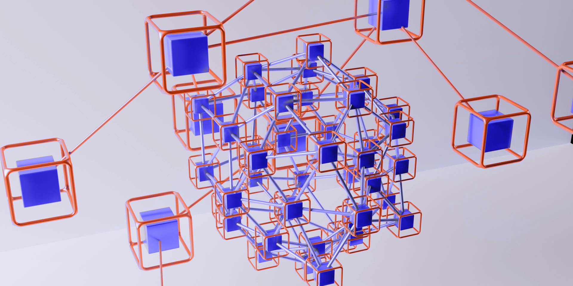
We orchestrate data, algorithms, hardware and platforms into unified pipelines—ensuring seamless flow from capture to insight across technologies and contexts.
MASAE is a member of

MASAE is a sister company of

MASAE is a member of
MASAE is a sister company of
MASAE is a member of
MASAE is a sister company of
MASAE is a member of
MASAE is a sister company of
MASAE is a member of
MASAE is a sister company of